Educational Trail from Rudná to Turecká lookout tower
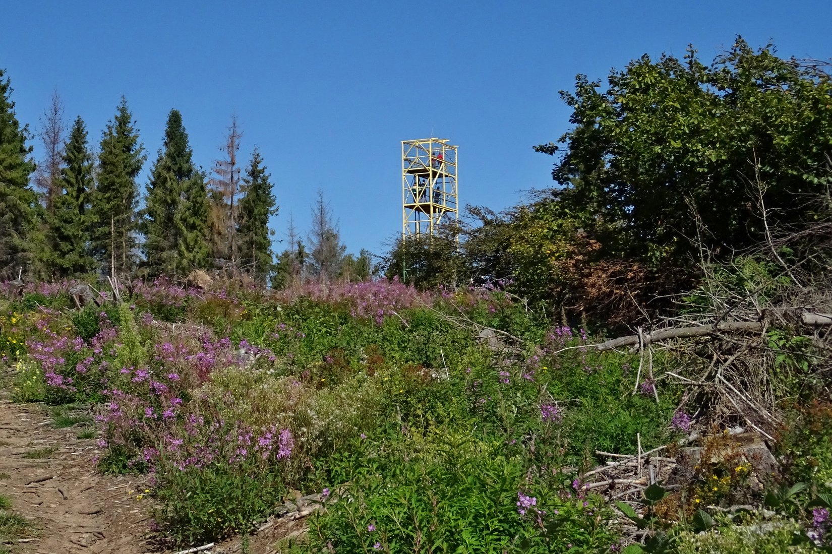
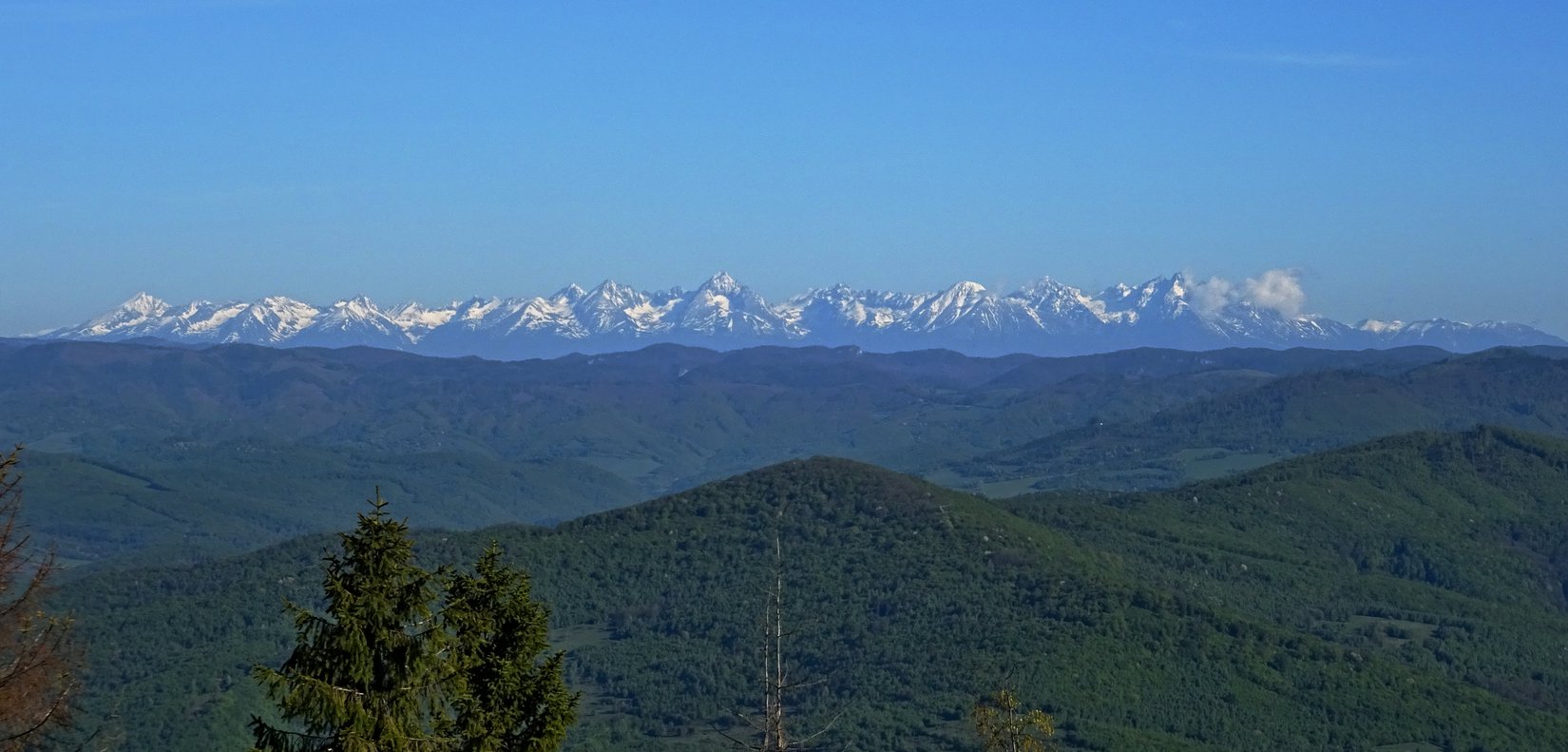
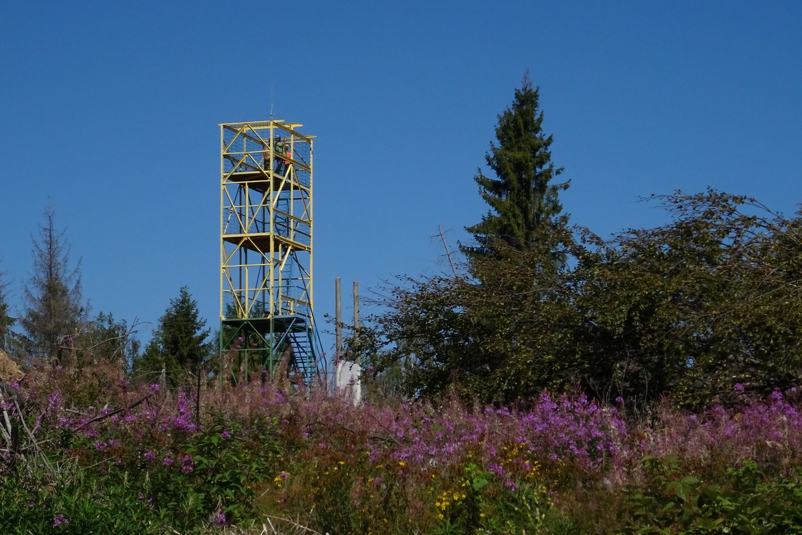
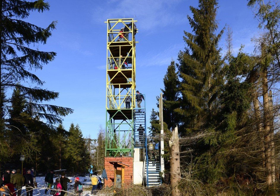
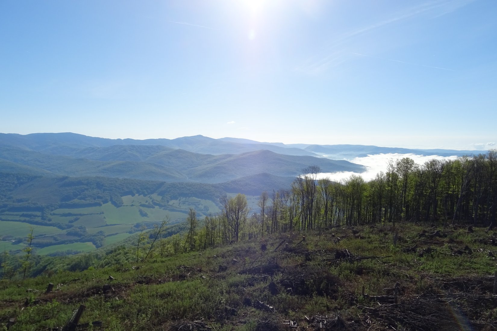
You can find the introductory board of the Turecká nature trail at the municipal office in the village of Rudná. Here you will get the first information about the village, mining and NCH Turecká. From there, the marked path will lead you to the forest trail above the village, which you will continue on. The total length of the route is approximately 8.6 km with an elevation gain of around 600 m. The educational trail is devoted to mining and forestry topics. There are 20 educational boards and 2 gazebos that are used for relaxation. The highest point is the Turecká hill with an altitude of 954 m above sea level. In 2012, the 15 m high metal tourist lookout Turek was built here, from which in good weather you can see the High Tatras, the Volovské vrchy and the Slovak Karst. In the brick ground floor of the lookout, there is a room that can serve as a shelter in bad weather. There is a tourist signpost for the PJ Šafárik Trail and an NCH Turecká information panel with additional information about the location at the lookout point. The entire route forms a circuit that starts and ends in the village of Rudná.
Our tip:
At educational board number three, there is a turnoff to a viewpoint called Skalica. This beautiful, almost romantic place offers views of the Silicá and Plešivecká karst plateaus, the town of Rožňava, or village of Rudná, located directly below you. If you don´t turn here while exploring the nature trail, you should definitely find time for this little lookout sometime.