Educational trail From Tisovec to Tisovská Hradová
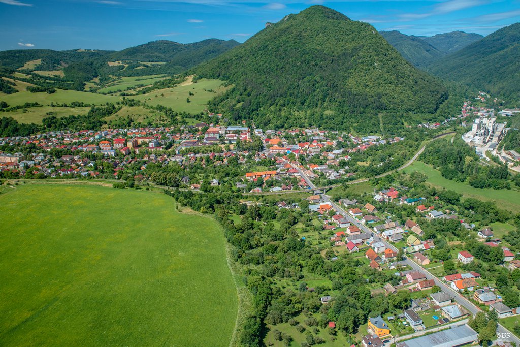
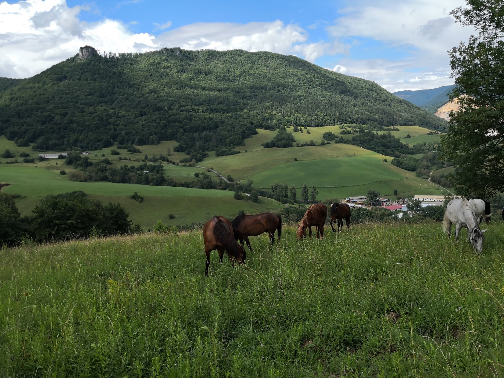
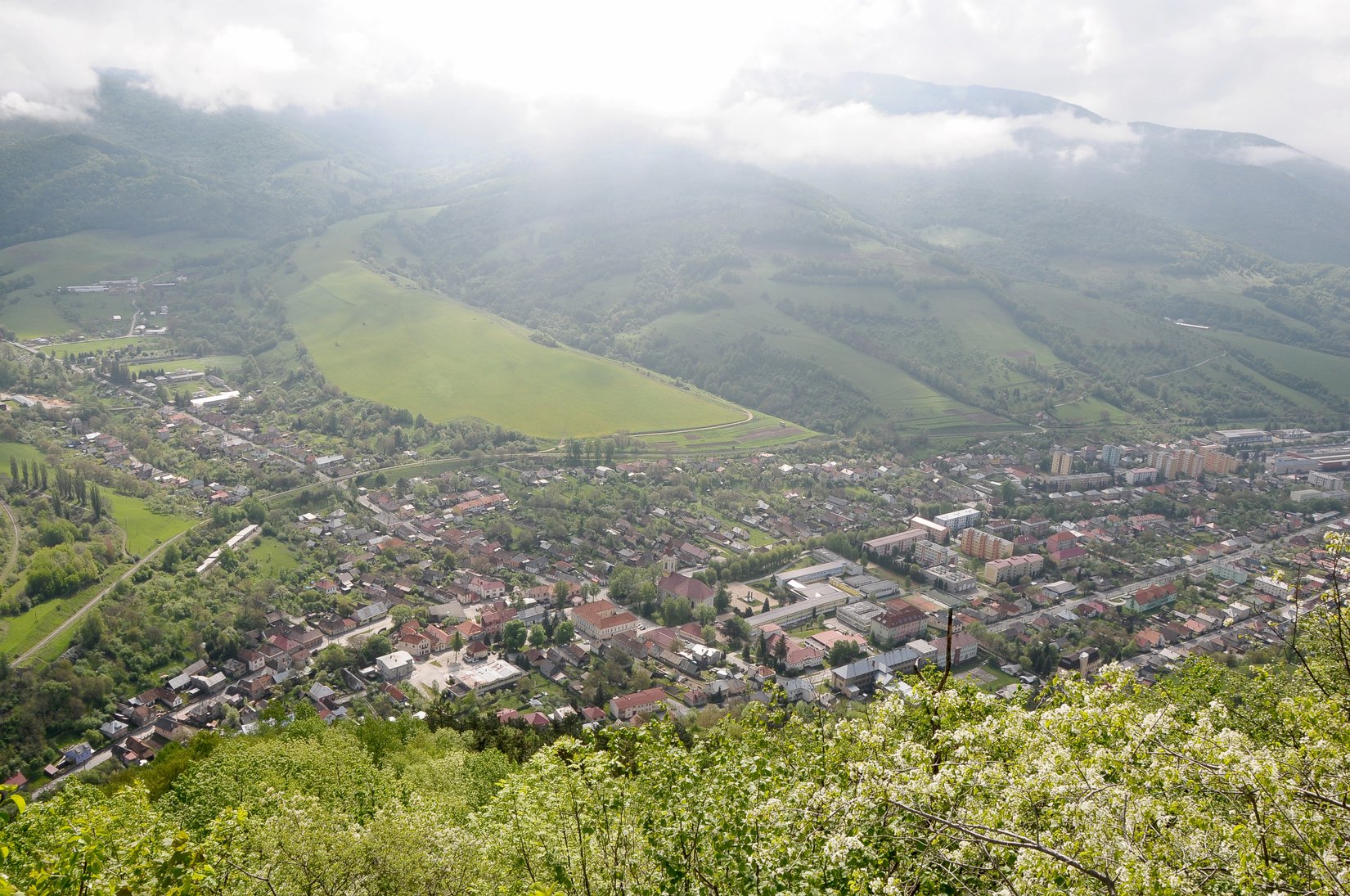
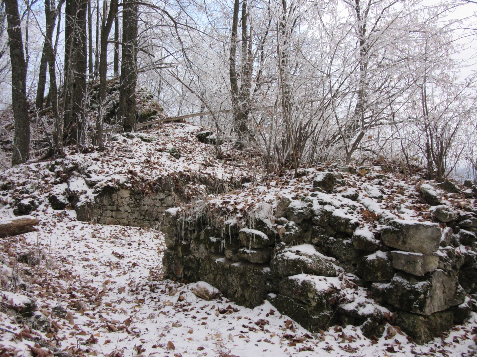
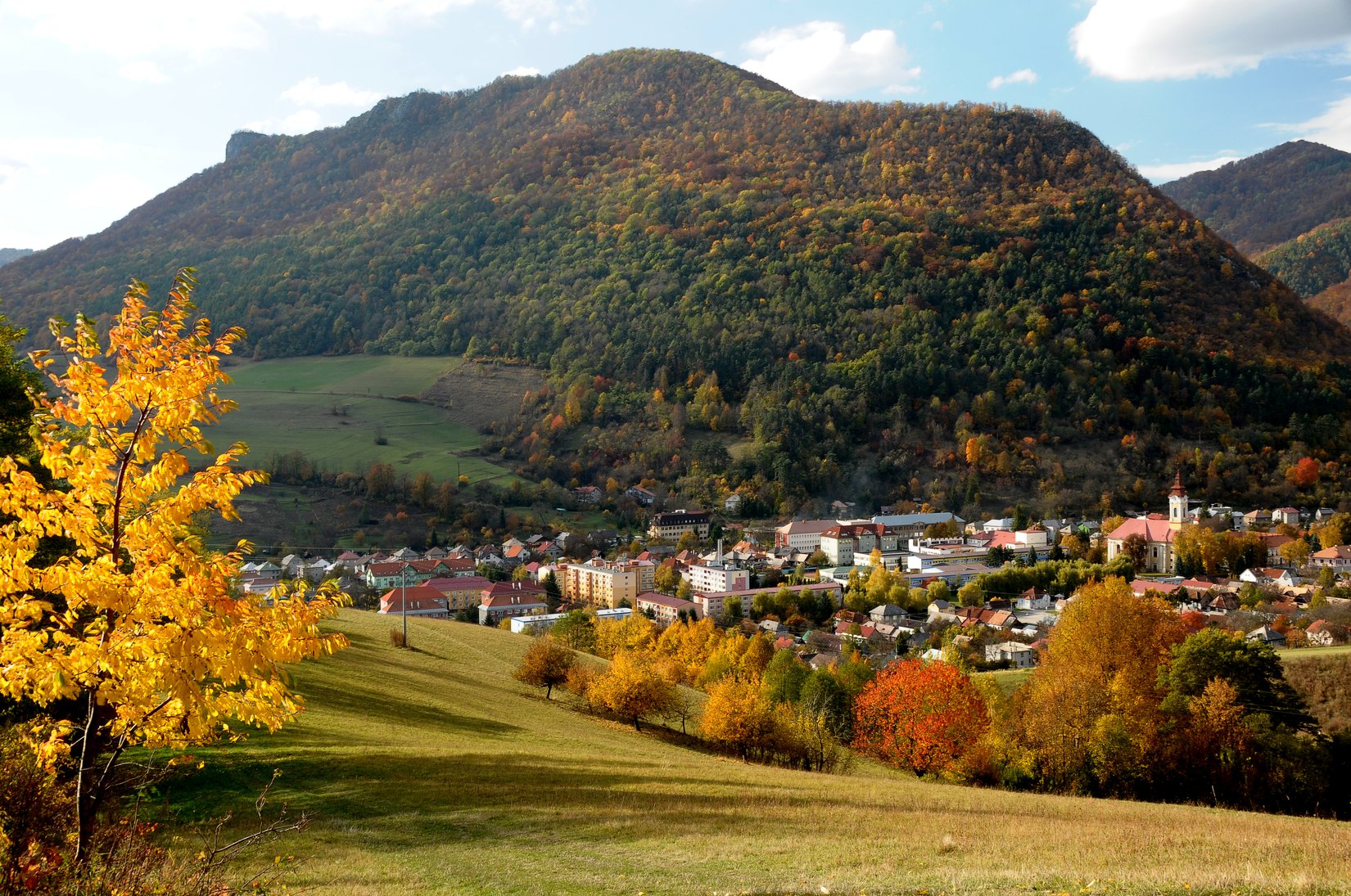
The route of the educational trail is 3 kilometers long. It leads from the center of Tisovec. There are 9 stops on the trail, the first of which is an information point located next to the building of the Secondary Vocational School in Tisovec. The introductory part of the educational trail runs parallel to the blue-marked tourist route and goes under the foot of Hradová. Here you will find the second stop, where you will learn information about the protected area you are passing through. From this moment on, the route begins to climb significantly. A yellow tourist sign will assure you of the direction of your journey. The reward during the ascent is the Kopenec viewpoint, from where you can see the entire town of Tisovec. The trail ends at a small summit meadow, where a settlement from the period of the Kyjatice culture stood in the younger and later Bronze Age. This high and extensive limestone hill with several caves provided people with safe living even in the younger Stone Age. The top of Hradová hides the visible remains of a medieval castle, shrouded in many legends and rumours. You can climb Hradová with an elevation of 477 m in approximately two hours. In winter or in wet weather, we return by the same route.
Our TIP :
In favorable and dry weather, you can continue along the yellow-marked route, which will lead you to an exposed rocky ridge with beautiful views of the surrounding area. This downward route measures 6 km and takes about 2 hours. You will need a considerable amount of courage to overcome the section along the rocky ridge. It is marked as dangerous, so be careful. It is certainly not suitable for people who are afraid of heights or suffer from vertigo.