From Plešivec to Gerlašská skala rock
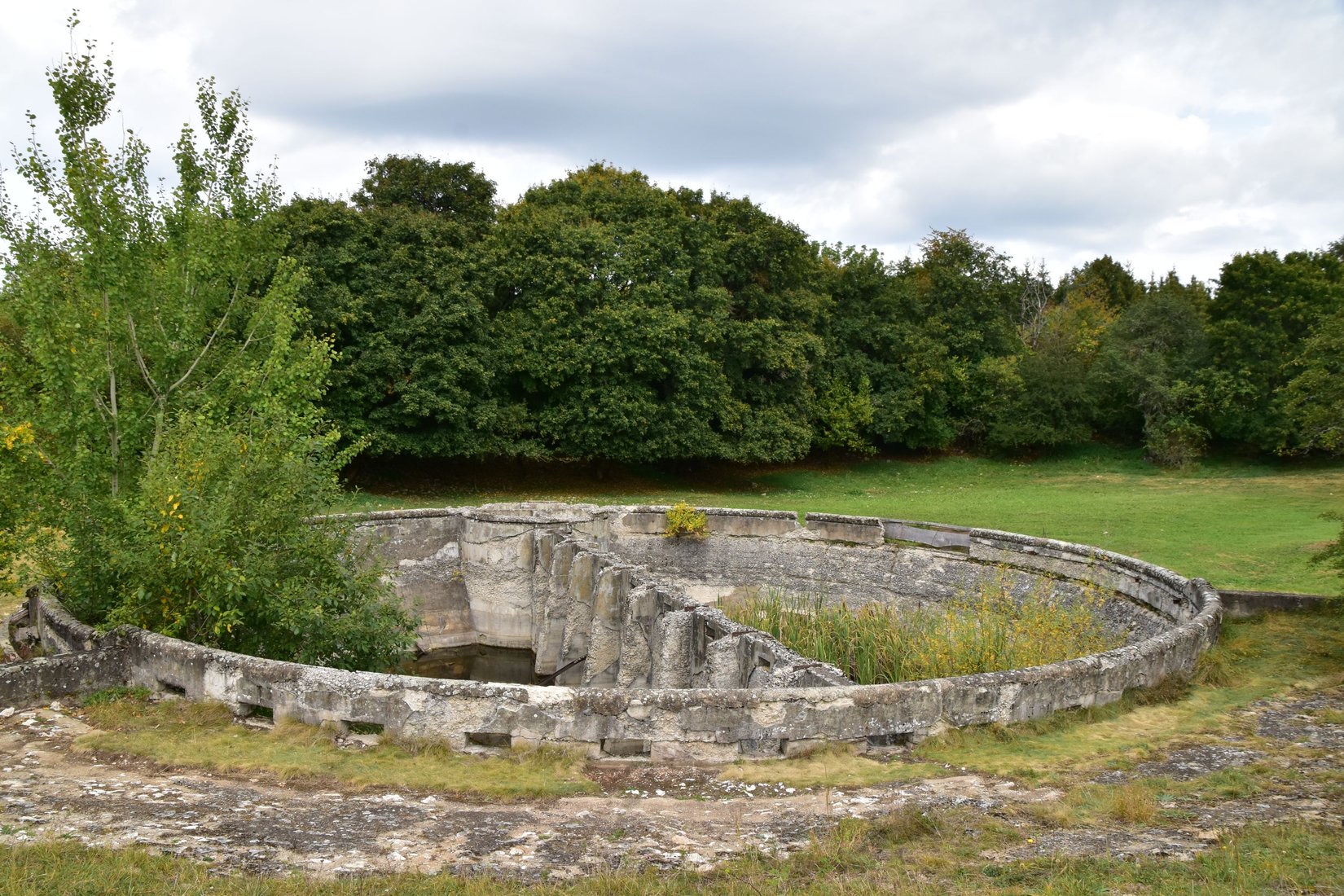
The route starts in Plešivec at the bus stop, near the FRESH supermarket. After crossing the busy main road, the bridge over the Slaná River and the railroad crossing nearby, sorry. station, continue to the right along the asphalt road to the foot of the plain. From here, following the blue tourist signs, you continue along the asphalt road in the ascent to the plain for approximately 4 kilometers. After more than an hour, you will reach the Ďulová signpost, from where a blue tourist sign leads across the Plešivecká plateau to the Gerlašská skala. Approximately in the middle of the route, you will come across a unique technical monument from 1913 - Serényi's cistern, which in the past served grazing cattle for watering. The round concrete structure with a diameter of 16 meters and a depth of 4 meters has the ability to hold water with a volume of 960 thousand liters. The relatively flat route will take you to the Gerlašská skala signpost (752 m above sea level) after about 2 and a half hours of walking. From there it is less than 5 minutes to the viewpoint of the same name. From it, you can see Turecká hill, Volovské and Stolické hills, and under favorable conditions the High Tatras and Kráľova hoľa.