From the Baštianska Diathema to the Pohanský Castle
Starting point: Stará Bašta, town square
End point: Pohanský Castle
Route description:
Moderate, 3.8 km, 70 min.
Stará Bašta, town square - Baštianska diathema - Pohanský Castle (578 m asl)
The sidewalk has seven educational boards. The length of the route is 3.8 km with an elevation gain of 307 m.
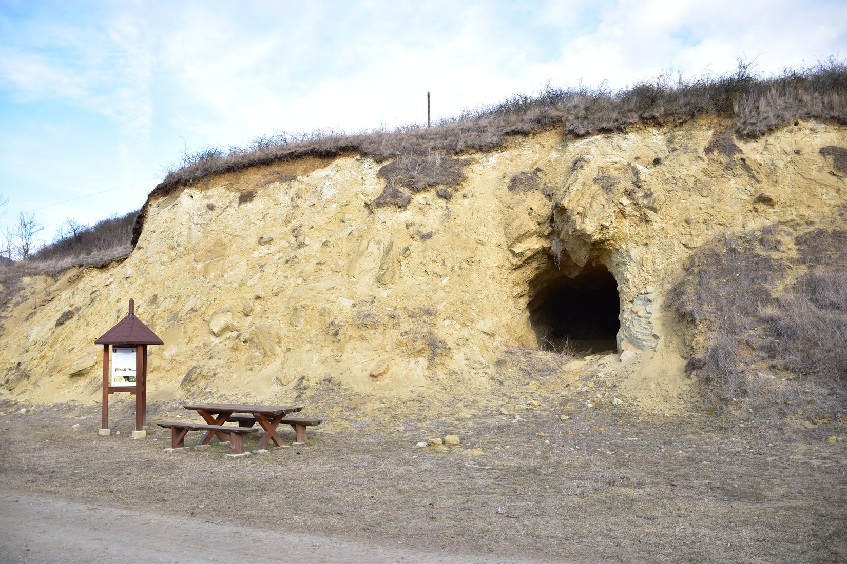
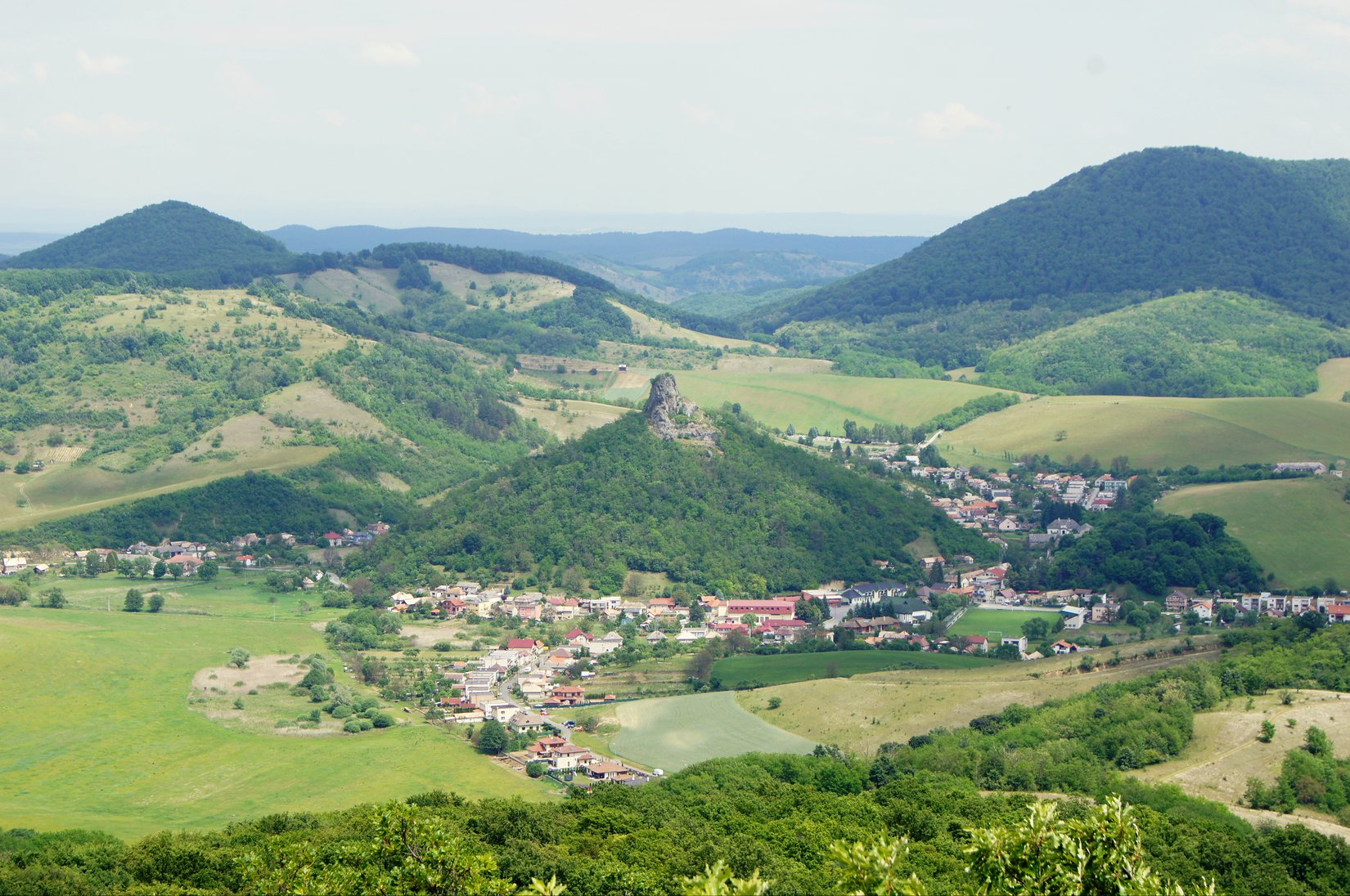
The nature trail route starts at the info panel on the square in Stará Bašta. Impressive is his second stop, which is Baštianska diathema - uncovered remains of a volcano Maar-type volcano, on the outskirts of the village. From here we choose the path on the right, which, accompanied by other information panels, will lead us first through a meadow, later through the forest to the top of Pohanský hrad. The local nature reserve with an area of 224 ha is the most valuable area in the Gemer part of the Cer Highlands. This place is rich in unique fauna and flora or rocky formations that were created thousands of years ago. Many rare animals have also found their home here, such as the raptor, the green lizard and others. Remains of a stone wall of ancient Celts and a rock town with 31 pseudo-karst caves, which were once inhabited by our prehistoric ancestors, are hidden on the edges of the top plateau.
The route to Pohanský hrad can also be completed with a start in the village of Hajnáčka, from where you can reach the top in about 70 minutes along the green tourist route. After about 50 minutes of walking, be sure not to miss the small turnoff to the short promontory - the volcanic volcano Tilič (475 m above sea level) providing photogenic views of Hajnáčka.
TIP from us:
South of the village of Stará Bašta, above the village of Tachty, there is an eleven-meter high lookout tower Tomášov vrch. It offers beautiful views of the surrounding area, the Cerová Highlands, neighboring Hungary and, with good visibility, the King's Hill, up to 80 kilometers away.
Kategórie: #Nature