Cycle tour to Chata Zeme
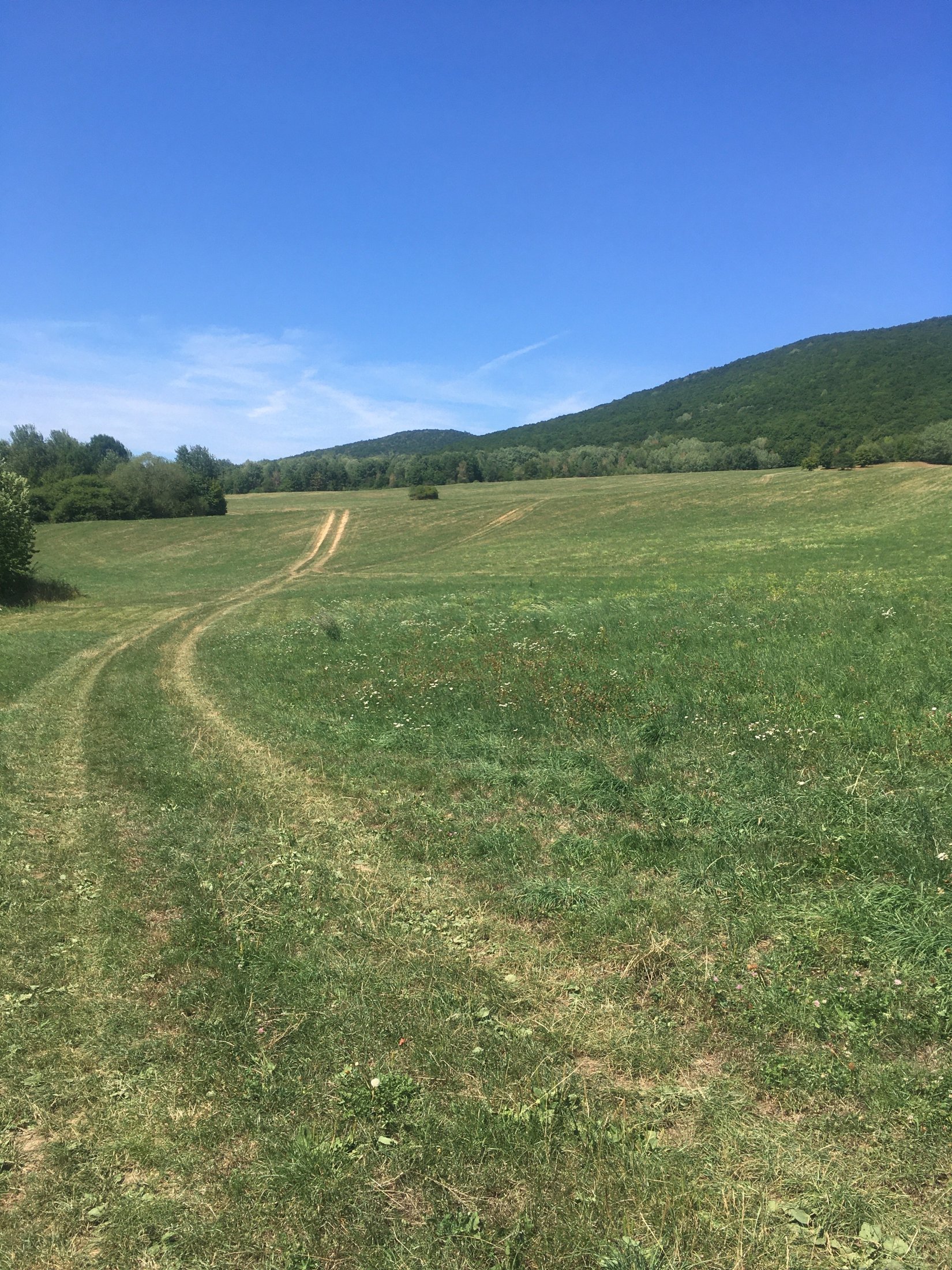
We start the cycle tour to Chata Zeme approximately in the middle of the village of Rožňavské Bystré, next to the main road, next to house number 229. We turn along the unpaved road through a side alley, from which we go to the meadow and climb across the grassy terrain to the forest. In it, we keep ourselves on the scale. We do not allow ourselves to be tempted by many side turns.
After about 2 km, we reach a crossroads, turn right and continue for a few meters, then keep to the left and start pedaling up the steepest slope.
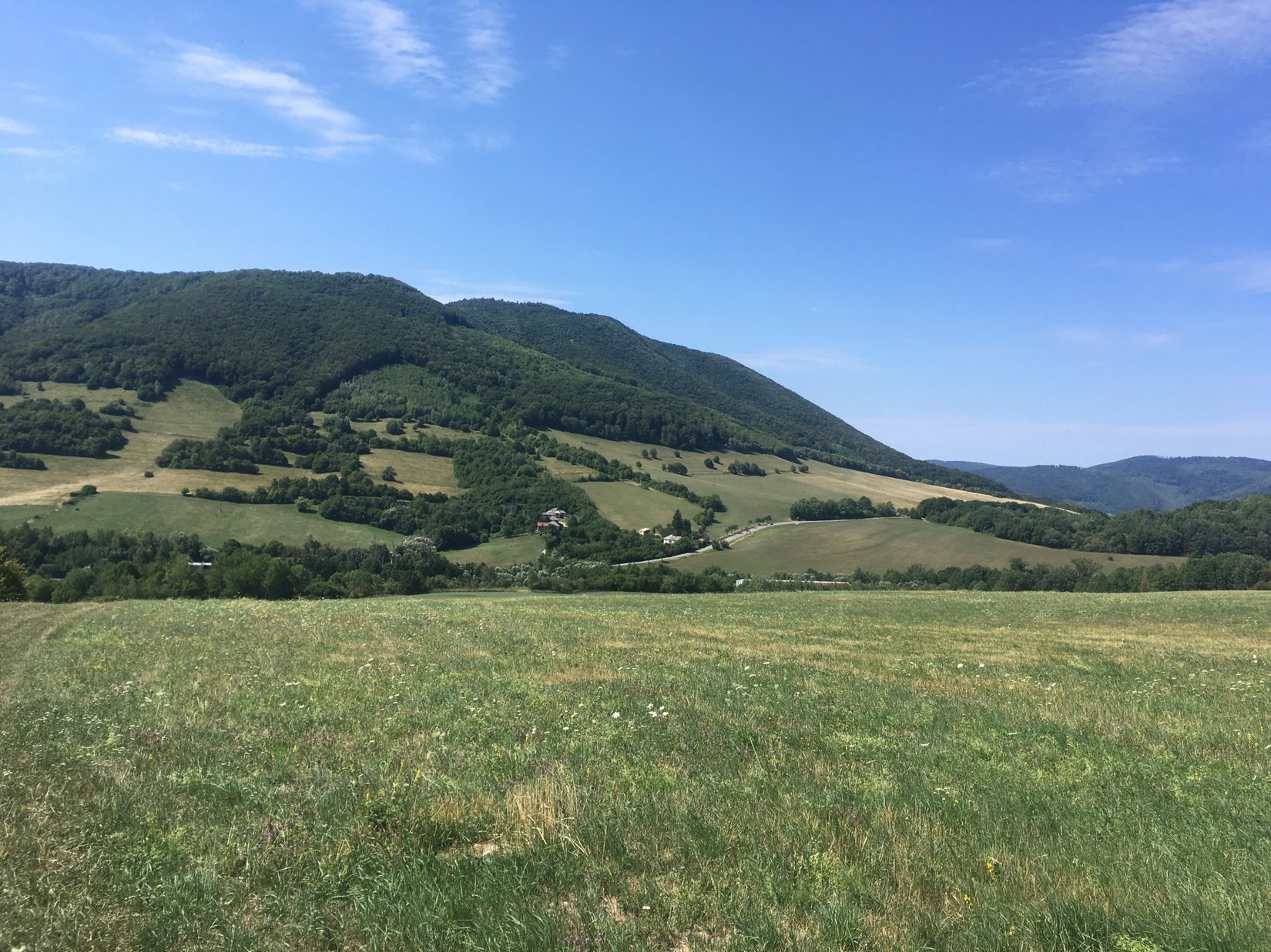
We climb up to the highest point on the route and under a massive oak we connect to the green marked PJ Šafárik trail. From this moment on, the path is precisely marked and there is no reason to deviate from it. We take it to the right and do not leave it until Chata Zeme.
The green-marked path is overgrown with raspberry and blackberry branches for a short section, so be careful, don't pick thorns, but rather slow down and collect some sweet berries.
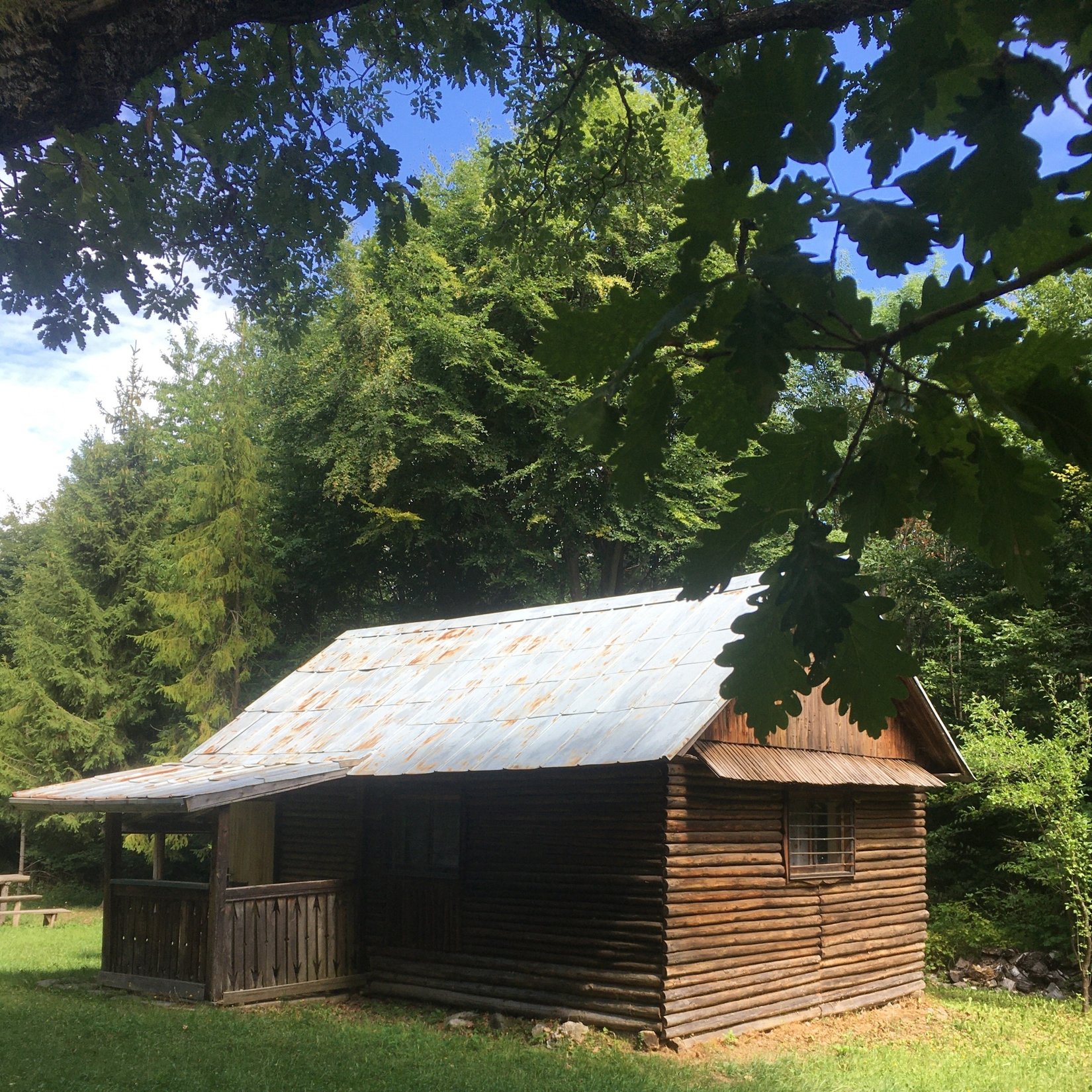
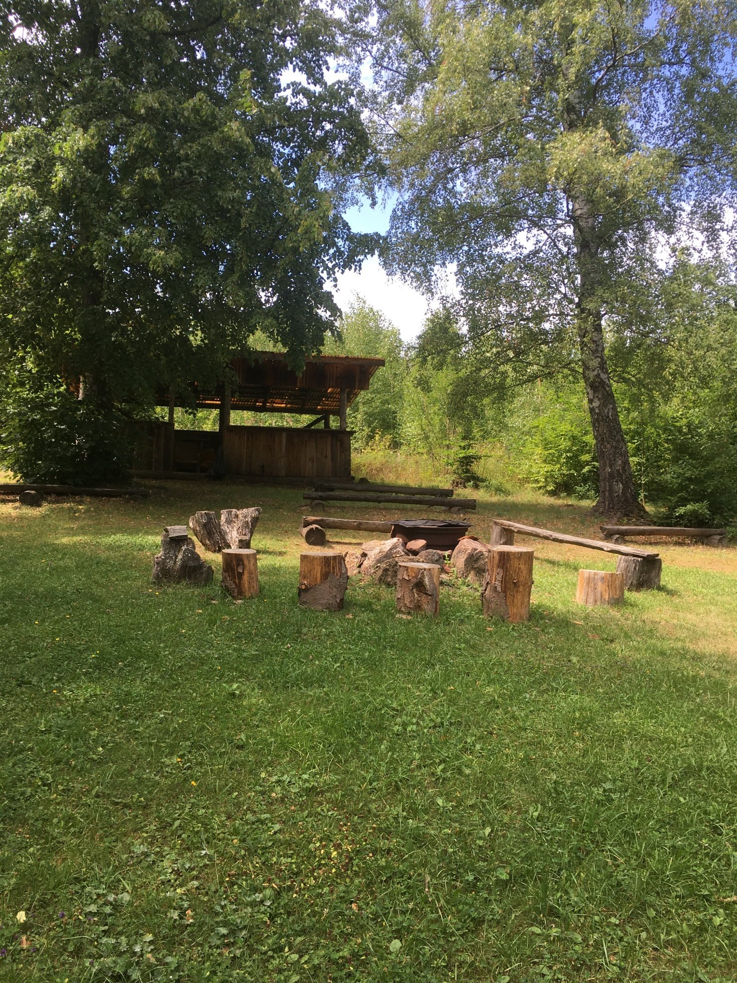
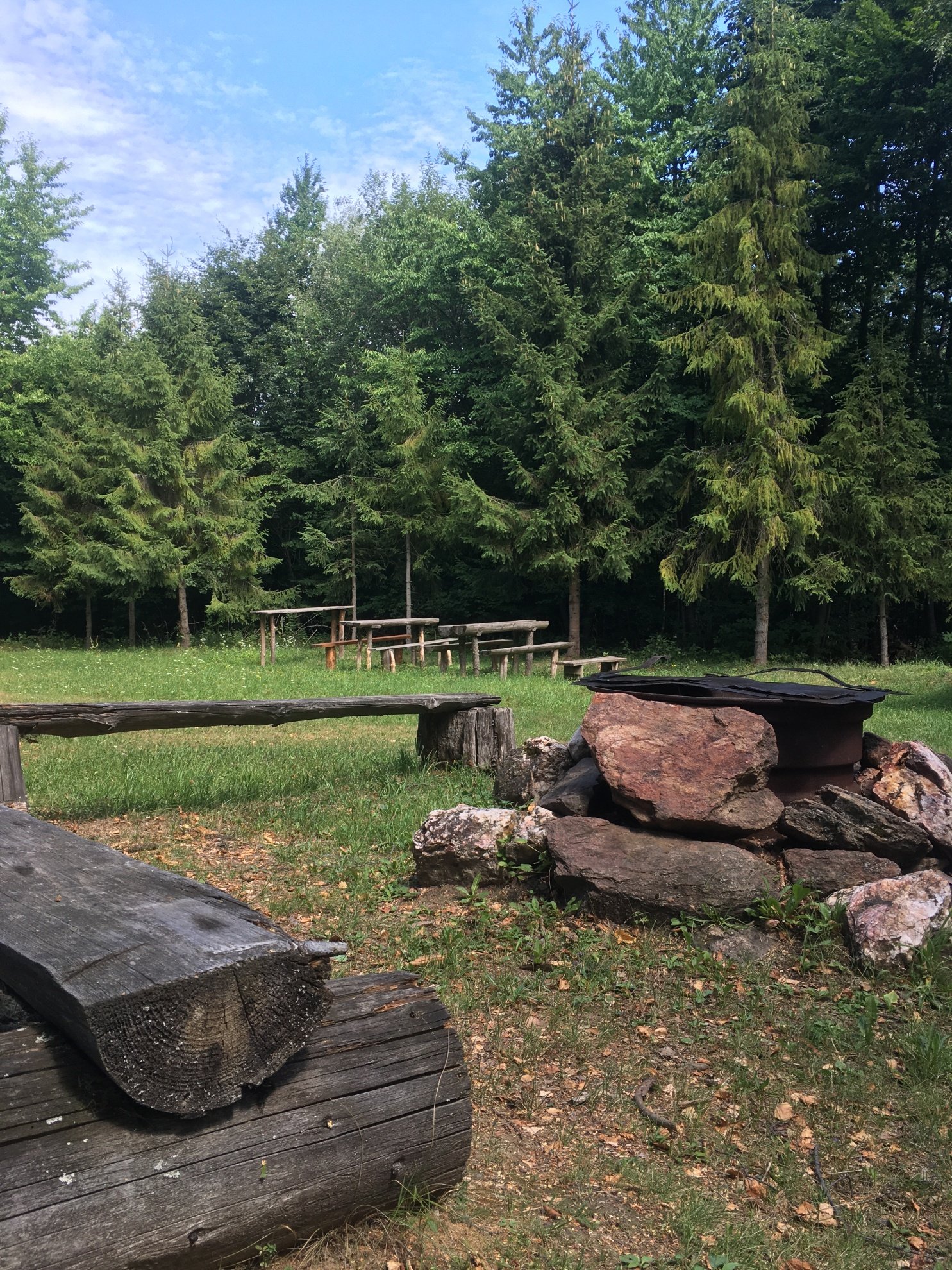
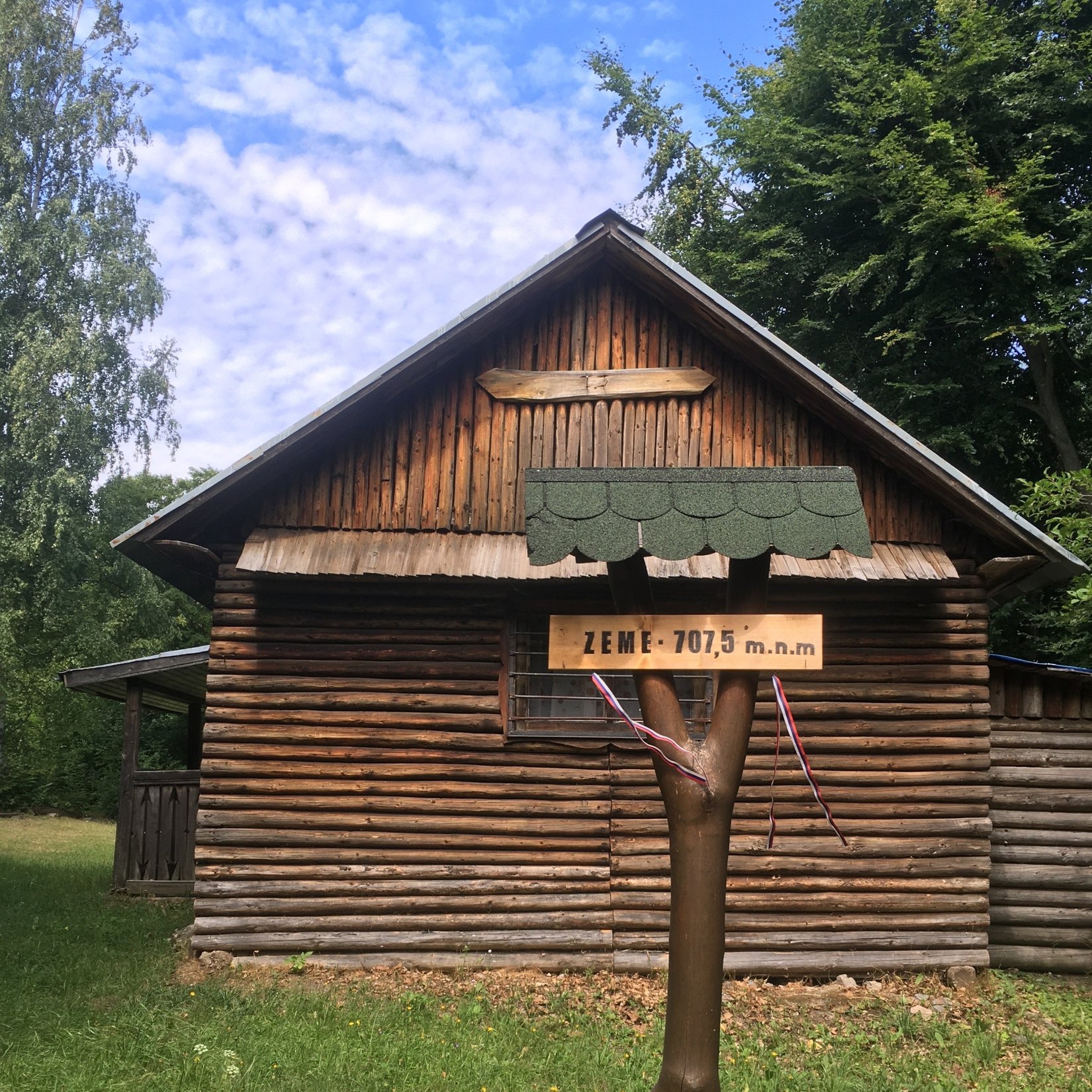
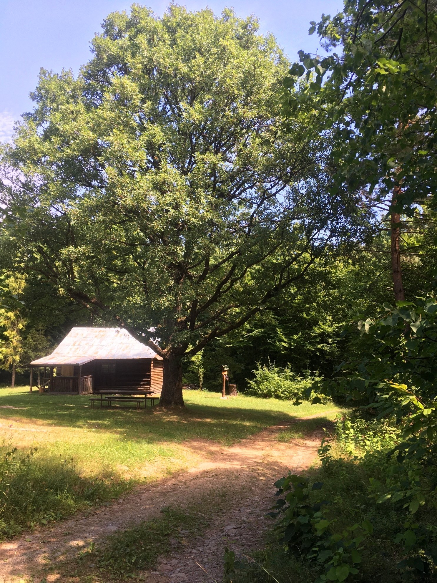
When you arrive at your destination, you will be amazed by the majestic oak tree, under which Chata Zeme stands. This name is said to be derived from the fact that people had plots of land here, popularly called lands. The clearing around the cottage is carefully maintained, there is a makeshift fireplace with seating, a gazebo that provides occasional shelter, but also an emergency toilet.
After a well-deserved rest and mandatory photo documentation with the bike and the cottage in the background, we can return by the same route, or we can continue along the green marked route. After a few meters we come across a monument, at which we keep to the right and descend towards the southeast to the Plánka clearing. Be careful when going downhill, the road is steep and stony.
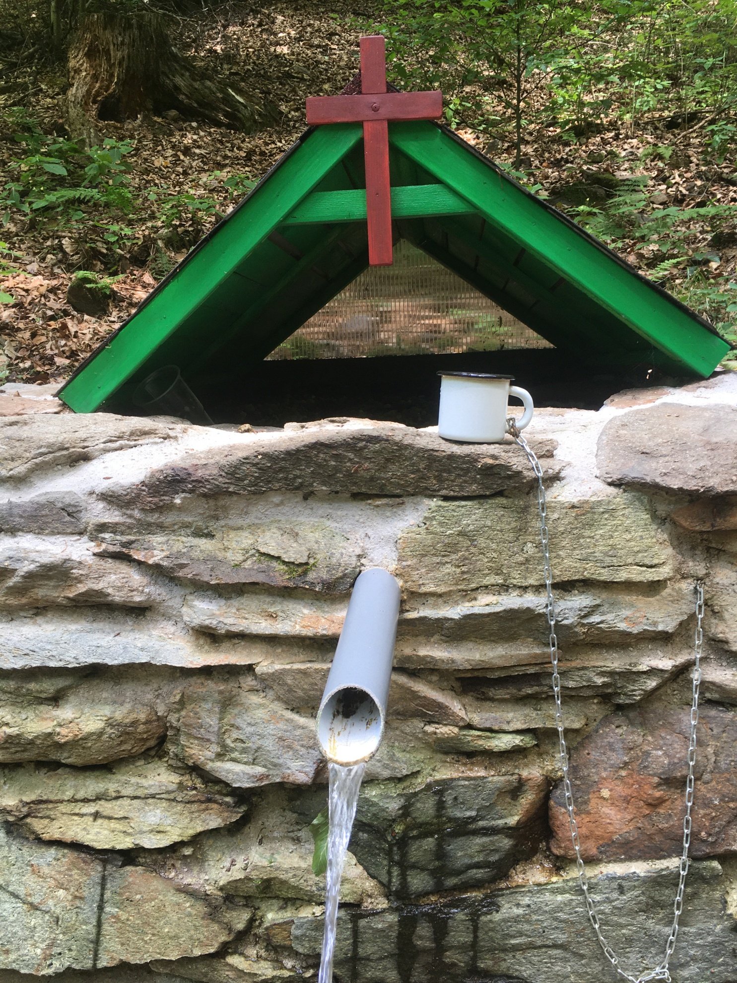
About 100 meters from the Plánka clearing, against the direction of the Zimná voda stream, there is a well. After refreshment, we continue in the direction of the stream and enjoy the descent to the village of Rožňavské Bystré. Be careful in places where the road crosses its riverbed.
Altitude of the destination: 708 m above sea level
Length of the route there and back: 10 km
Elevation: 348 m
GPS: 48.6848931N, 20.4503581E
Conditions and more information about the other 19 peaks can be found on Facebook Vrchárska koruna Gemerská and on the website www.vk-gemer.sk .
Kategórie: #Sport