From Jovice to Dievčenská and Brzotín rocks
Slovak Karst National Park
From Jovice to Dievčenská and Brzotín rocks
Starting point : Jovice
End point : Brzotín Rock
Route description: Moderately demanding, half-day to full-day.
Jovice - Lukáčova bučina - Dievčenská skala - Lukáčova bučina - Brzotínska skala
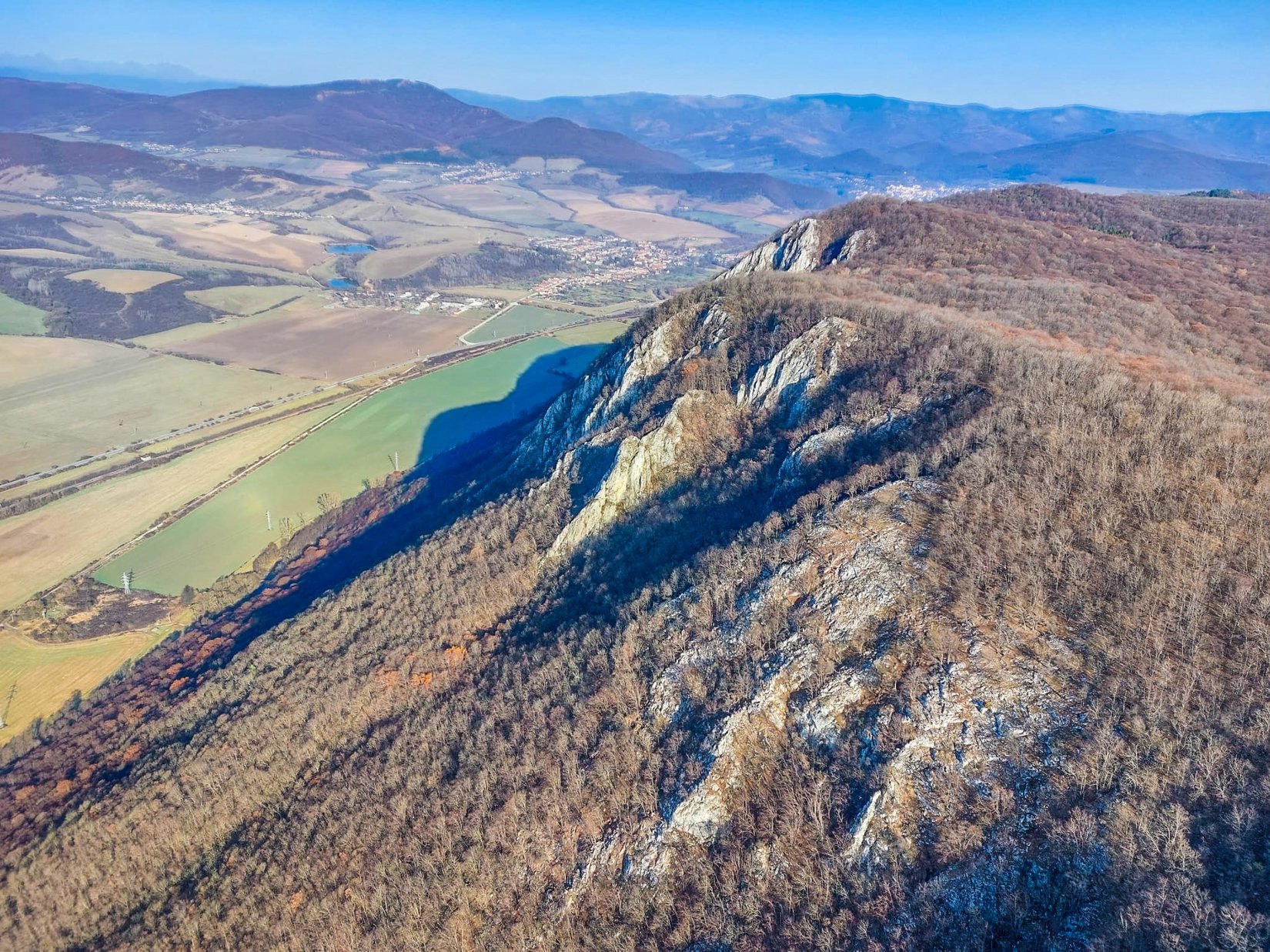
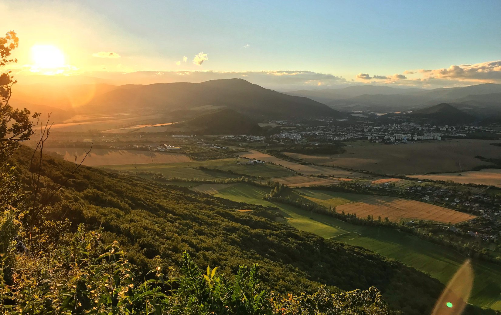
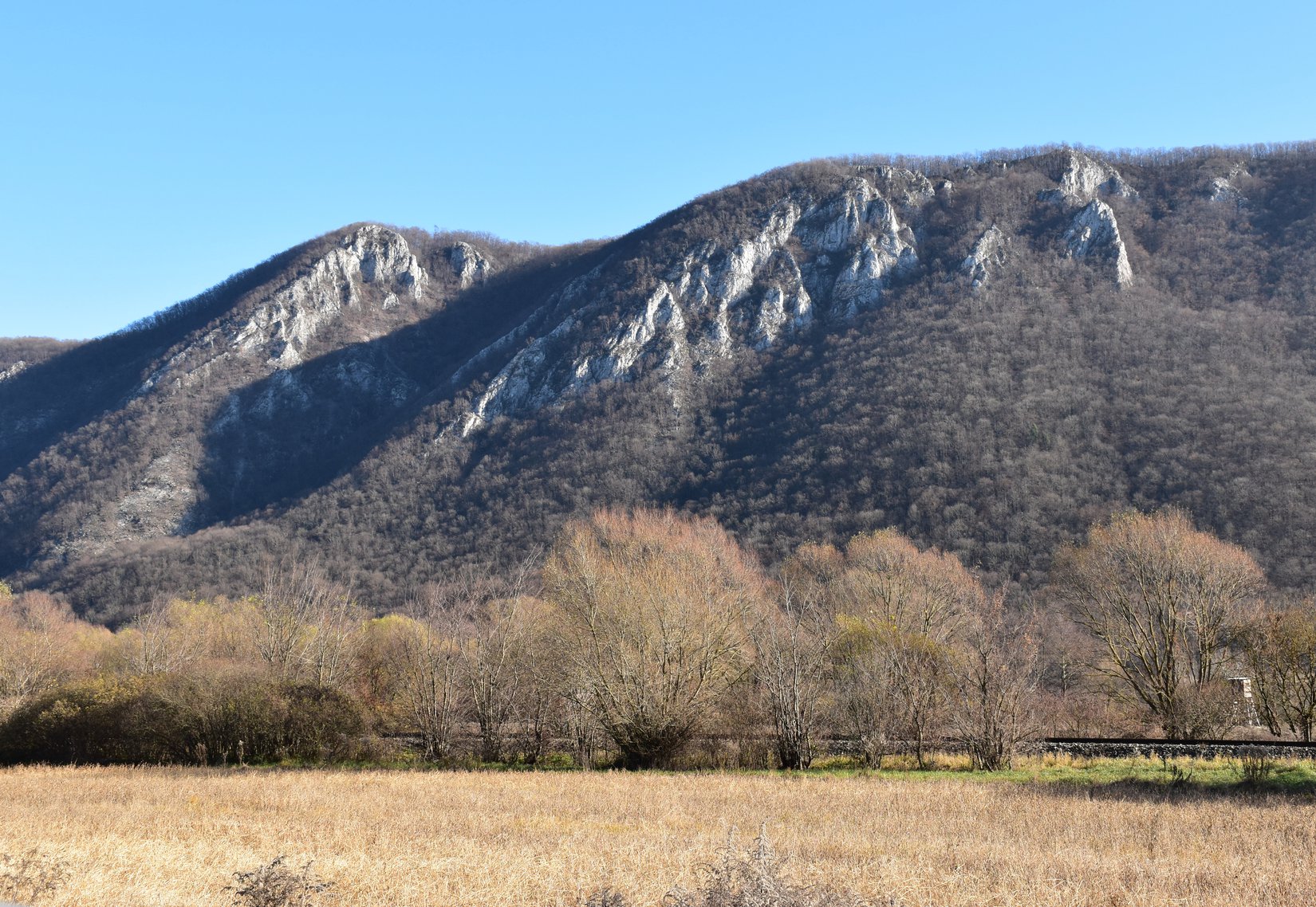
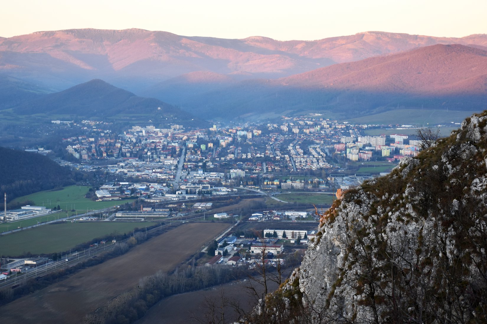
The beginning of hiking from Jovice to Dievčenská rock is marked by a steeper climb, which lasts about 1.5 km. After climbing this section, we will get straight to Silická planina. From there, the road is already relatively flat, without much elevation. The blue sign accompanies us to a signpost called Lukáčova bučina. At this point, we turn left and follow the green sign. After a few minutes we come to a large meadow, where we find a signpost called Turning to Dievčenská rock. A slight climb awaits us here, at the end of which there is already a viewing platform. From Dievčenská skala we have the opportunity to see the Rožňava basin, Volovské vrchy, Turecká hill, Krásna Hôrka Castle and the High Tatras. We take the same route back to the Lukáčova bučina signpost. From there we continue straight along the green tourist sign towards Brzotínske skaly. After a short walk among the deciduous trees, we come to the tourist signpost Odbočka na Brzotínska skalu. After about 15 minutes of travel, beautiful views of Rožňava and the surrounding villages await us. In good weather we can see the peaks of the High Tatras or Kráľova hoľa.
Our tip:
If you have extra energy left, we recommend that you take a short walk along the blue sign in the direction of Silica from the Lukáčova bučina crossroads. After about 1 kilometer you will reach the entrance of the deepest vertical abyss in the karst underground of Slovakia. Little Žomboj is 142 meters deep. From the viewing platform, one can look directly into her spooky black throat.
Kategórie: #Nature